// project
Flood Check
[ visit ]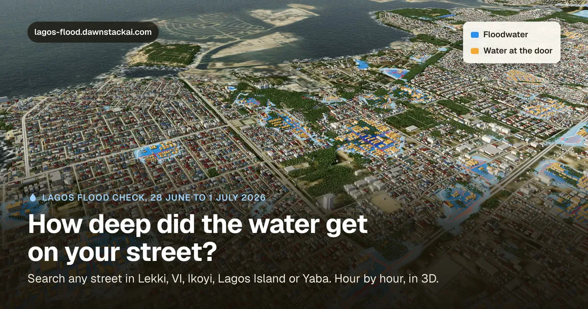
Flood Check replays real floods in 3D: Lagos from 28 June to 1 July 2026, and Nairobi from 5 to 8 March 2026. Pick a street and watch the water rise and fall, hour by hour.
Every depth is a model estimate on 60 m squares, made from public rain, ground height and map data. It’s a replay, not a forecast, and every page says so.
The hard part was being honest about what the model misses. It doesn’t know about blocked drains, and in Nairobi it has no river channels, so depths beside the rivers come out higher than the real water was. The site says that instead of hiding it.
There’s a page for each of 440 areas, it installs as a phone app that works offline once a city has loaded, and it has an API and an MCP server, so an agent can ask about a place. Forewarn uses its flood levels for Lagos and Nairobi.
← all projects